Catalog Archive
Auction 112, Lot 118

"Canada or New France", Gibson, John

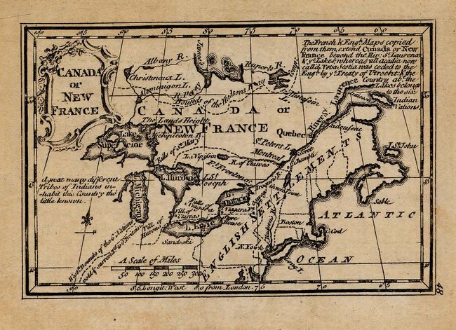
Subject: Colonial Canada and Great Lakes

Period: 1758 (circa)

Publication: Atlas Minimus

Color: Black & White

Size:
3.8 x 2.5 inches
9.7 x 6.4 cm
Download High Resolution Image
(or just click on image to launch the Zoom viewer)

This diminutive map shows the Great Lakes and English settlements in the northern part of North America. Although not finely engraved, the map's interest lies with the locations of the Bounds of the Hudson Bay Comp. and the Hist. Bounds of the 6 Nations sold & surrendered to G. Britain. There is a notation at upper right describing the cessions made as a result of the Treaty of Utrecht and a decorative title cartouche at left. This is the first edition published between 1758 and 1779.

References: Kershaw #362; McCorkle #758.4.

Condition: A+

Estimate: $150 - $200

Sold for: $150

Closed on 9/28/2005

Archived