Catalog Archive
Auction 112, Lot 105

"Extrema Americae Versus Boream, ubi Terra Nova Nova Francia, Adjacentiaq", Blaeu, Johannes
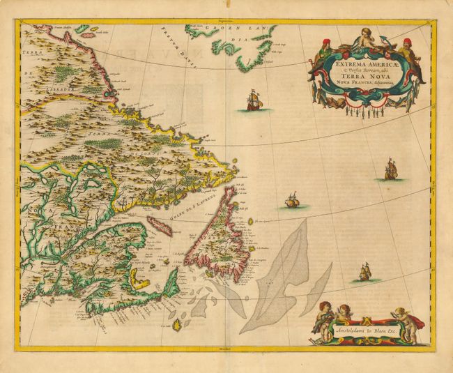
Subject: Canada

Period: 1662 (circa)

Publication: Atlas maior sive Geographia

Color: Hand Color

Size:
22.2 x 17.6 inches
56.4 x 44.7 cm
Download High Resolution Image
(or just click on image to launch the Zoom viewer)

This is a handsome map of the Canadian Maritimes based on Samuel de Champlain's great map of 1632 and augmented with place names from De Laet and Jansson. Blaeu's version shows Nova Scotia, Newfoundland, the Gulf of St. Lawrence, Labrador and the Davis and Hudson Straits as well as the southern tip of Greenland. The elaborate title cartouches symbolize the importance of the Grand Banks fisheries, which are boldly engraved on the map. Latin text on verso.

References: Burden #371, Goss (Blaeu) p. 158; Kershaw #149; Van der Krogt (Atlantes) 9130:2.

Condition: A

Fine original color. Professional repair of small tear in lower blank margin, and reinforcement of centerfold on verso.

Estimate: $2,100 - $2,300

Sold for: $2,000

Closed on 9/28/2005

Archived