Catalog Archive
Auction 111, Lot 376
"Carte Reduite de la Rade des Dunes Avec une Partie des Entrees de la Tamise…", Bellin, Jacques Nicolas
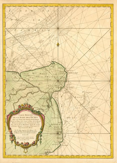
Subject: England
Period: 1757 (dated)
Publication:
Color: Hand Color
Size:
16.3 x 23 inches
41.4 x 58.4 cm
Download High Resolution Image
(or just click on image to launch the Zoom viewer)
(or just click on image to launch the Zoom viewer)