Catalog Archive
Auction 110, Lot 97
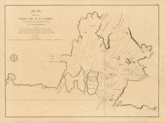
"Plan de la Baye de St. Lunaire a la Cote du Nord-Est de Terre-Neuve Leve Geometriquement en 1784", Depot de la Marine
Subject: Canada
Period: 1785 (dated)
Publication:
Color: Black & White
Size:
22.5 x 16.5 inches
57.2 x 41.9 cm
Download High Resolution Image
(or just click on image to launch the Zoom viewer)
(or just click on image to launch the Zoom viewer)