Catalog Archive
Auction 110, Lot 439
"Le Port Louis…", Fer, Nicolas de
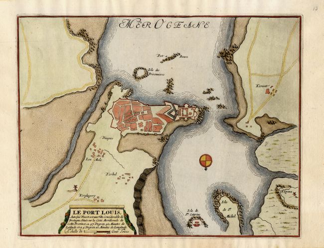
Subject: France
Period: 1696 (published)
Publication: Les Forces de l'Europe
Color: Hand Color
Size:
11.2 x 9 inches
28.4 x 22.9 cm
Download High Resolution Image
(or just click on image to launch the Zoom viewer)
(or just click on image to launch the Zoom viewer)