Catalog Archive
Auction 110, Lot 142
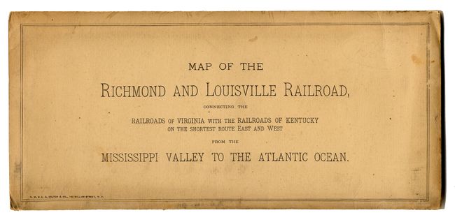
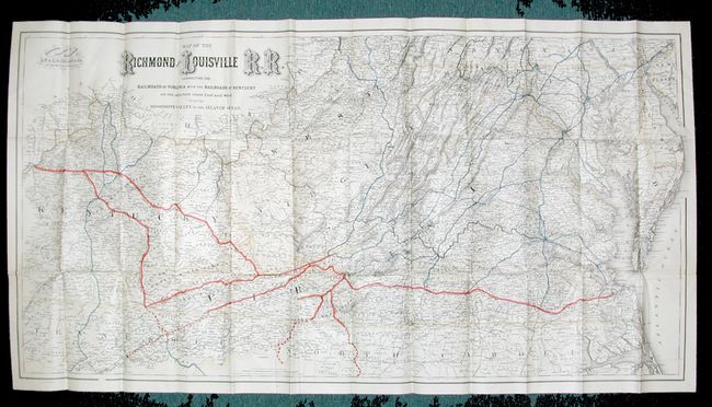
"Map of the Richmond and Louisville R.R. Connecting the Railroads of Virginia with the Railroads of Kentucky on the Shortest Route East and West from the Mississippi Valley to the Atlantic Ocean", Colton, G.W. & C.B.
Subject: United States - Southern
Period: 1882 (circa)
Publication:
Color: Printed Color
Size:
50 x 25 inches
127 x 63.5 cm
Download High Resolution Image
(or just click on image to launch the Zoom viewer)
(or just click on image to launch the Zoom viewer)