Subject: Railroad Surveys
Period: 1855 (published)
Publication:
Color:
Size:
9.5 x 11.7 inches
24.1 x 29.7 cm
During the 1850s, the U.S. government sponsored an extensive series of expeditions designed to gather information on the vast new territories that had been acquired in western North America. The discovery of gold in California further stimulated westward traffic and heightened the need for a faster and more convenient way to bring the far-flung parts of the country together. In 1853 Congress commissioned the Army's Topographic Bureau to conduct a series of surveys to find a suitable route for a transcontinental railroad. There were six major expeditions; five of them covered the area between the Great Plains and west coast, and the sixth explored the coastal states of California and Oregon. All of these expeditions were accompanied by naturalists and artists to document the landscape, flora and fauna along the route.
The reports, maps and lithographs were published in the 13 volume report "Explorations and Surveys to ascertain the most practicable and economical route for a Railroad from the Mississippi river to the Pacific Ocean."
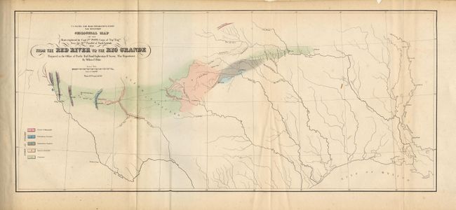
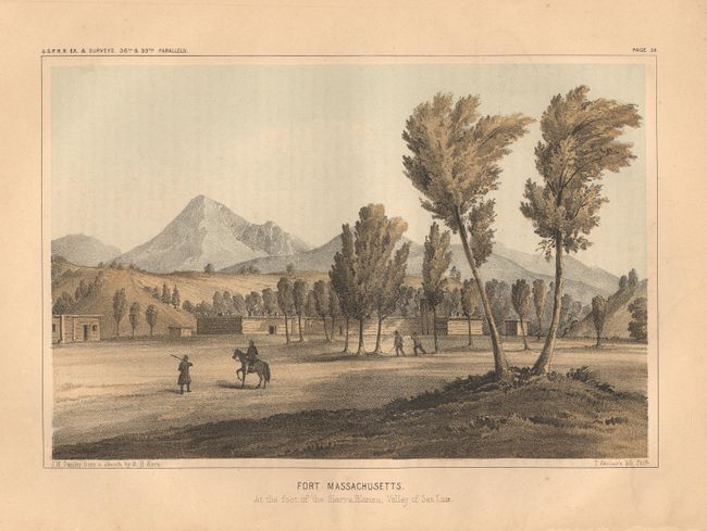
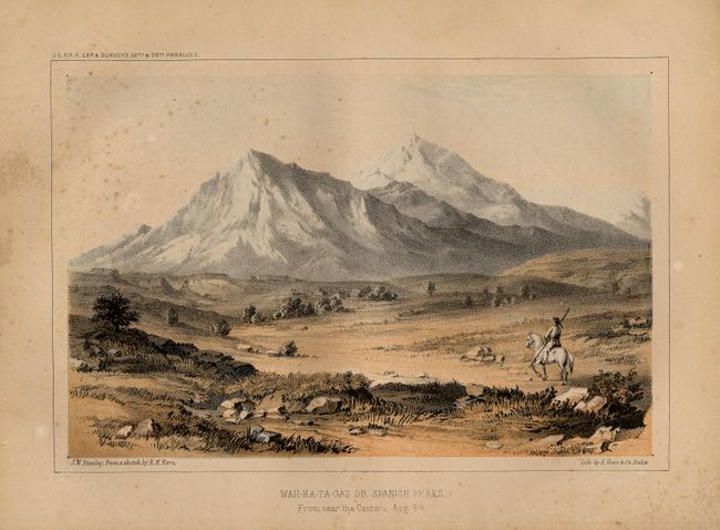
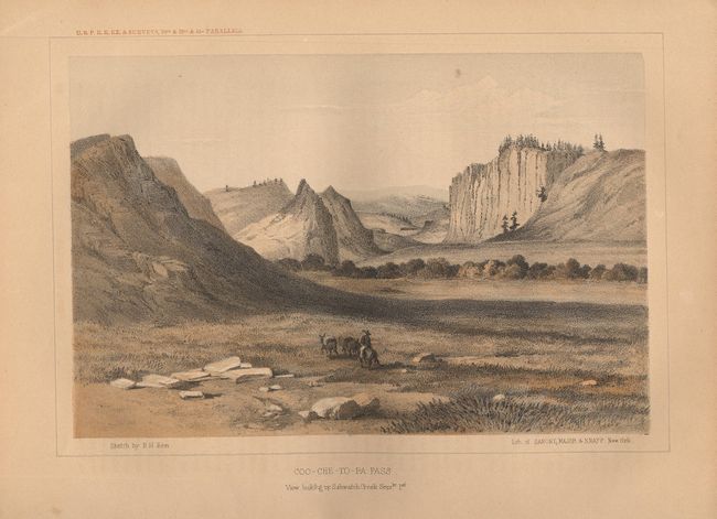
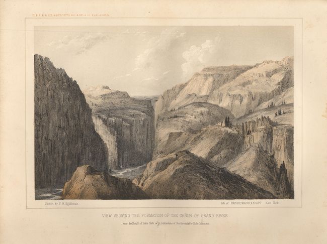
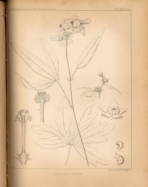
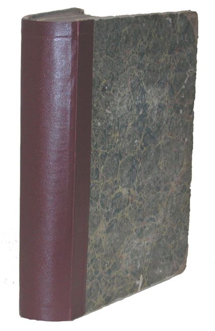
This is one of the most significant volumes of Pacific Railroad Survey. It contains Lt. Edward Beckwith's account of the expedition between the 38th and 39th parallels, led by Captain Gunnison. This proposed route, basically along the Santa Fe Trail, was favored by Senator Thomas Hart Benton and business interests in St. Louis, which would have become the eastern terminus. The expedition ended tragically with the massacre by Paiute Indians of Gunnison and most of his scouting party in Utah. Beckwith took command and led the survivors to Salt Lake City. His report includes 13 tinted lithographs by Kern and Stanley depicting scenes on the route. Other entries in this volume include Beckwith's account of his later expedition along the 41st parallel from Salt Lake City to the Sacramento River in California with 4 geology plates and 10 botany plates; Frederick W. Lander's reconnaissance to Puget Sound via South Pass and his argument for a rail line along the Pacific Coast to Washington (instead of a separate northern route); Captain John Pope's account of his expedition along the 32nd parallel from the Red River to the Rio Grande including 10 botany plates; Blake's geology of the route including a colored fold-out map and table; and Parke's explorations on the 32nd parallel and his observations of the various Indian tribes of the region. Original marble paper covered board with spine replaced.
References:
Condition: B
Boards rubbed and corners worn. Contents toned with scattered light foxing throughout. Some signatures loose.