Subject: Holy Land
Period: 1824 (published)
Publication: A New General Atlas
Color: Hand Color
Size:
8.6 x 11.2 inches
21.8 x 28.4 cm
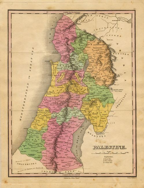
Finely's maps employ a delicate and elegant engraving style and provided extensive topographical and watershed information. He was the dominant map maker in the United States in the early 1820s into the 1830s. His atlases were very successful, outselling rival atlases by Carey & Lea, and Tanner. His maps were printed on high quality paper and were routinely corrected and updated.
Well colored map that details the area with scores of towns and villages named. Bounded by Arabia and the Salt or Dead Sea to the east. Locates Jerusalem, Jaffa, Bethlehem, Mt. Carmel, City of Waters, Jericho, and much more. Fine engraving by Young & Delleker.
References:
Condition: B
Fine pastel coloring and impression on thick paper. A few areas of light foxing in blank areas, else very good. Thin strip of cloth tape along left edge, well away from map in wide margin.