Catalog Archive
Auction 109, Lot 605
"Carte de la Terre Sainte Divisee dans Toutes ses Parties Selon le Nombre des Tribus d' srael avec une liste des Evechez de la Palestine Tiree de la Notice qui s' en Trouve dans la Bibliotheque du Roi tres Chretien", Chatelain, Henry Abraham
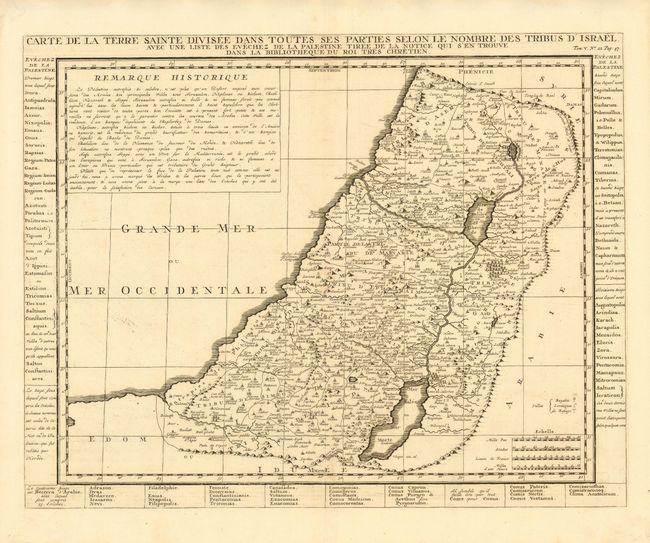
Subject: Holy Land
Period: 1710 (circa)
Publication: Atlas Historique et Methodique
Color: Black & White
Size:
17.2 x 13.5 inches
43.7 x 34.3 cm
Download High Resolution Image
(or just click on image to launch the Zoom viewer)
(or just click on image to launch the Zoom viewer)