Catalog Archive
Auction 109, Lot 539
"[Lot of 2] Karte von dem disseit der Alpen gelegenen Gallien und Ligurien… [with] Vorstellung des Weges den Hannibal genomen durch Gallien und uber die Alpen bis in Italien", Baumgarten, Siegmund Jakob
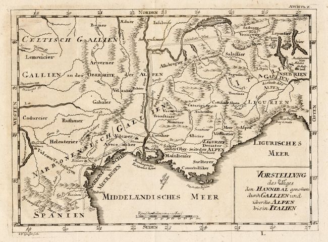
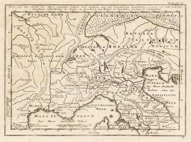
Subject: Europe - Southern
Period: 1763-92 (published)
Publication: Algemeine Welthistorie
Color: Black & White
Size:
11 x 8 inches
27.9 x 20.3 cm
Download High Resolution Image
(or just click on image to launch the Zoom viewer)
(or just click on image to launch the Zoom viewer)