Catalog Archive
Auction 109, Lot 538
"Carte Historique et Geographique pour Introduire a l'Intelligence de l'Histoire de Savoye, et ala Connoissance du Gouverment…", Chatelain, Henry Abraham
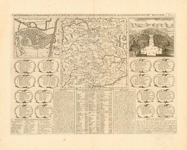
Subject: Europe - Southern
Period: 1720 (circa)
Publication: Atlas Historique et Methodique
Color: Black & White
Size:
19 x 14 inches
48.3 x 35.6 cm
Download High Resolution Image
(or just click on image to launch the Zoom viewer)
(or just click on image to launch the Zoom viewer)