Catalog Archive
Auction 109, Lot 510
"Carte du Spits-Berg Suivant les Hollandois Pour servir a l'Histoire Generale des Voyages", Bellin, Jacques Nicolas
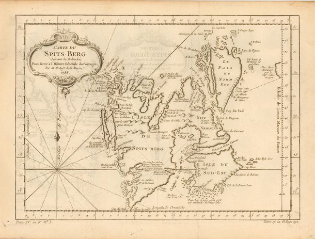
Subject: Spitsbergen, Norway
Period: 1758 (dated)
Publication: La Harpe's L'Histoire Generale des Voyages
Color: Black & White
Size:
12 x 8.5 inches
30.5 x 21.6 cm
Download High Resolution Image
(or just click on image to launch the Zoom viewer)
(or just click on image to launch the Zoom viewer)