Catalog Archive
Auction 109, Lot 47

"Nova et Accurata Poli Arctici et Terrarum Circum Iacentium Descriptio", Jansson, Jan
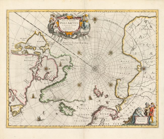
Subject: North Pole

Period: 1649 (circa)

Publication: Newer Atlas

Color: Hand Color

Size:
20.8 x 16.1 inches
52.8 x 40.9 cm
Download High Resolution Image
(or just click on image to launch the Zoom viewer)

This beautiful map, originally published in 1637, eventually replaced Hondius' map of the North Pole and became the prototype for many later maps including those of Blaeu. Rhumb lines radiate from the North Pole and several compass roses embellish the chart. A large title cartouche, with two figures and numerous wind heads, conveniently hide the northwest coast of America. The map is further decorated with ships and a cartouche, with Jansson’s imprint, which depicts men in parkas, a polar bear and foxes. This example is the second state from a German edition.

References: Burden #250; Kershaw #105a.

Condition: A

Repairs on short centerfold separations, else fine.

Estimate: $1,000 - $1,100

Sold for: $700

Closed on 12/1/2004

Archived