Catalog Archive
Auction 109, Lot 446
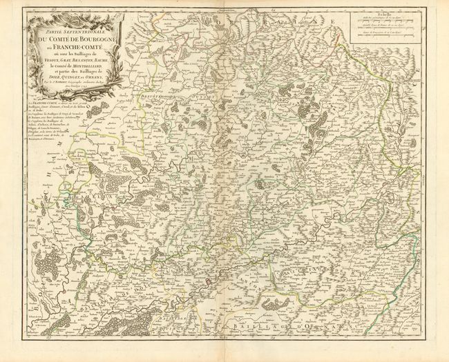
"Partie Septentrionale du Comte de Bourgogne ou Franche-Comte ou sont les Bailliages de Vesoul, Gray, Besancon, Baume, le Comte de Montbelliard…", Robert de Vaugondy
Subject: France
Period: 1749 (dated)
Publication: Atlas Universel
Color: Hand Color
Size:
22 x 18.5 inches
55.9 x 47 cm
Download High Resolution Image
(or just click on image to launch the Zoom viewer)
(or just click on image to launch the Zoom viewer)