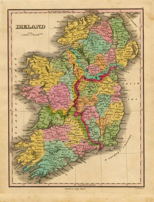
Subject: Ireland
Period: 1824 (published)
Publication: A New General Atlas
Color: Hand Color
Size:
8.7 x 11.3 inches
22.1 x 28.7 cm
Finely's maps employ a delicate and elegant engraving style and provided extensive topographical and watershed information. He was the dominant map maker in the United States in the early 1820s into the 1830s. His atlases were very successful, outselling rival atlases by Carey & Lea, and Tanner. His maps were printed on high quality paper and were routinely corrected and updated.
Nice map that details numerous towns and villages with a few roads located. Names St. George's Channel and extends north to the Mull of Cantire and the North Channel. Finely engraved by Young & Delleker.
References:
Condition: A
Pastel coloring and good impression, printed on thick paper. A little marginal foxing.