Catalog Archive
Auction 109, Lot 368
"Nieuwe Kaart van 't Zuider Gedeelte van Groot Britannie behelzende Het Koningryk Engeland…", Tirion, Isaac
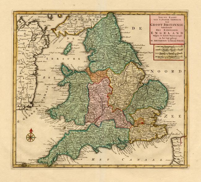
Subject: England & Wales
Period: 1769 (published)
Publication: Nieuwe en Beknopte Hand Atlas
Color: Hand Color
Size:
14.2 x 12.7 inches
36.1 x 32.3 cm
Download High Resolution Image
(or just click on image to launch the Zoom viewer)
(or just click on image to launch the Zoom viewer)