Catalog Archive
Auction 109, Lot 295
"[Lot of 3] Antigue ... [and] Isle de la Martinique [and] Isle St. Christophle… [on sheet with] La Barbade", Le Rouge, George Louis
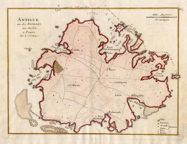
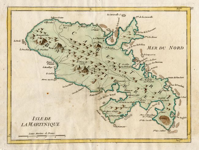
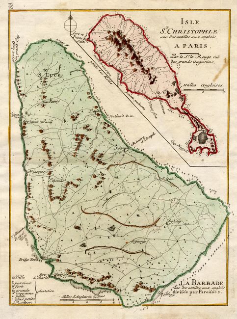
Subject: Lesser Antilles
Period: 1748 (circa)
Publication:
Color: Hand Color
Size:
10.5 x 7.8 inches
26.7 x 19.8 cm
Download High Resolution Image
(or just click on image to launch the Zoom viewer)
(or just click on image to launch the Zoom viewer)