Subject: New York City
Period: 1855 (published)
Publication:
Color: Hand Color
Size:
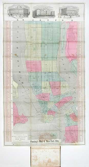
15.3 x 27 inches
38.9 x 68.6 cm
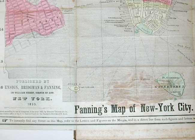
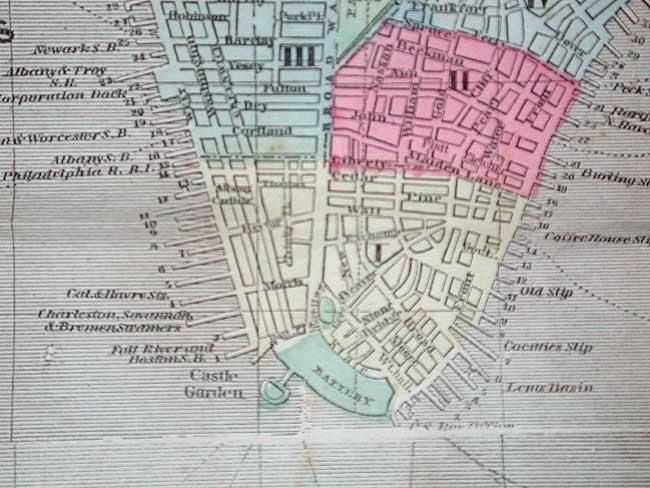
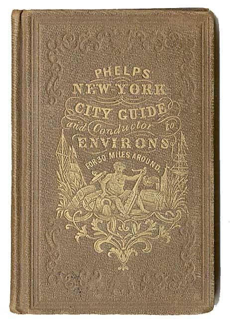
Beautiful pocket-map of Manhattan that extends north to 88th Street and shows a small portion of New Jersey and Brooklyn. This is an early plan of the city prior to the creation of Central Park. Streets are listed in panels at side keyed to map location. The map is vividly colored by ward with fire districts and public buildings located. The railroads and at least thirteen ferry routes are shown. Three vignettes at top show elevations of the Merchant's Exchange, Institution for the Blind, and the Custom House. Compass rose indicates north. Published by Ensign, Bridgeman & Fanning, 156 William Street, Corner of Ann, New York. Lovely original full coloring. Included with the original book titled, "Phelps' New York City Guide and Conductor to Environs for 30 Miles Around." Frontispiece, title page, preface, index, New York City Guide. 8vo, 96 pp. Filled with engravings of important buildings and information on surrounding cities and towns, post offices, banks, telegraph offices and rates, hotels, railroad information, cattle markets, and much more. Original embossed cloth covered boards with gilt title.
Covers with very light rubbing and a lighter area on back from either water or sunning. Light scattered foxing in text. Signatures tight, map detached. Book is in remarkable condition.
References: Haskell 980.
Condition: B
Map toned along one fold with three areas of staining or foxing, the one at bottom is about 2" wide where it was attached to book. Professionally backed with light Japanese tissue to repair a tear extending nearly across the map - nearly invisible.