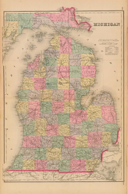
Subject: Michigan
Period: 1881 (published)
Publication: The National Atlas
Color: Hand Color
Size:
16.3 x 23.5 inches
41.4 x 59.7 cm
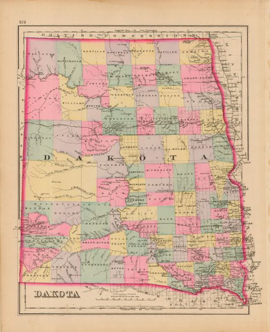
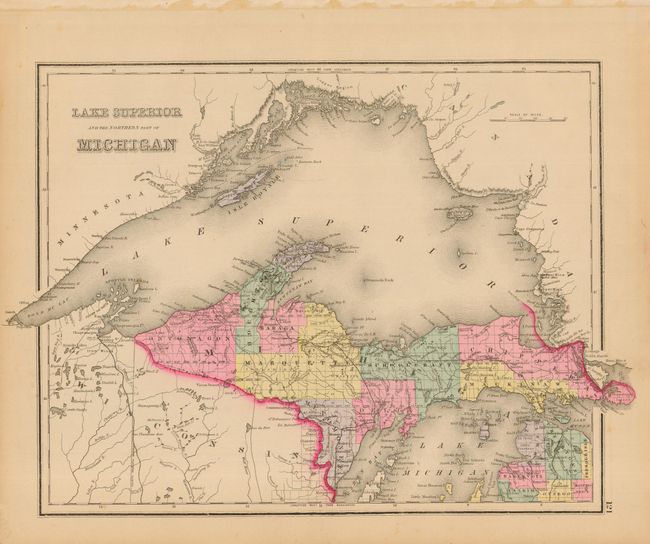
Well engraved double-page map that is completely filled with geographical and political information. Locates numerous railroads, cities, towns, counties and county seats, watershed and lakes, and much more. Railroads predominate with the northern most extending to Petoskey (here Potoskey) , plus one in the UP that heads west from Port St. Ignace. Harbor Springs is here called Little Traverse with the spit clearly visible. A nice looking chart, copyright 1874, that should not be confused with Gray's smaller single-page map. Single-page maps of "Dakota Territory" and "Lake Superior and the Northern Part of Michigan" on the verso.
References:
Condition: A
Fine pastel coloring and crisp, dark impression. Short marginal split along centerfold, closed on verso with archival tape.