Catalog Archive
Auction 109, Lot 144

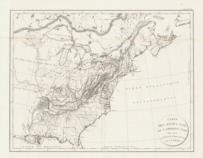
"Carte des Etats-Unis de l'Amerique-Nord", Volney, C. F.

Subject: United States & Canada

Period: 1809 (circa)

Publication: Tableau du climat et du sol des Etats-Unis

Color: Black & White

Size:
21.5 x 16.2 inches
54.6 x 41.1 cm
Download High Resolution Image
(or just click on image to launch the Zoom viewer)

A nicely engraved copper-plate map that extents from northern Florida well into Canada to include the Maritimes. It extends westward to beyond the Mississippi River. Locates some Indian tribes and gives the number of warriors in each. For example "Pays des Chactas (2000 Guerriers)". Details hardwood forest in western Tennessee. The map names major cities only. Climatic zones are noted with engraved line and label. Circular title cartouche.

References:

Condition: A

A very clean and bright example. Folding, as issued. Split along one fold, expertly repaired on verso, still very good.

Estimate: $200 - $250

Sold for: $220

Closed on 12/1/2004

Archived