Catalog Archive
Auction 108, Lot 580
"The Empire of China, with its Principal Divisions; Drawn from the Surveys made by the Jesuits…", Laurie & Whittle
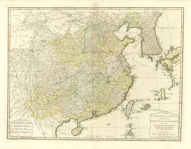
Subject: China and Korea
Period: 1794 (dated)
Publication:
Color: Hand Color
Size:
24.5 x 18.7 inches
62.2 x 47.5 cm
Download High Resolution Image
(or just click on image to launch the Zoom viewer)
(or just click on image to launch the Zoom viewer)