Catalog Archive
Auction 108, Lot 496
"An Accurate Chart of the Straits of Gibraltar, with the Settings of the Different Tides. On the Spanish and Barbary Shores.", Lodge, John
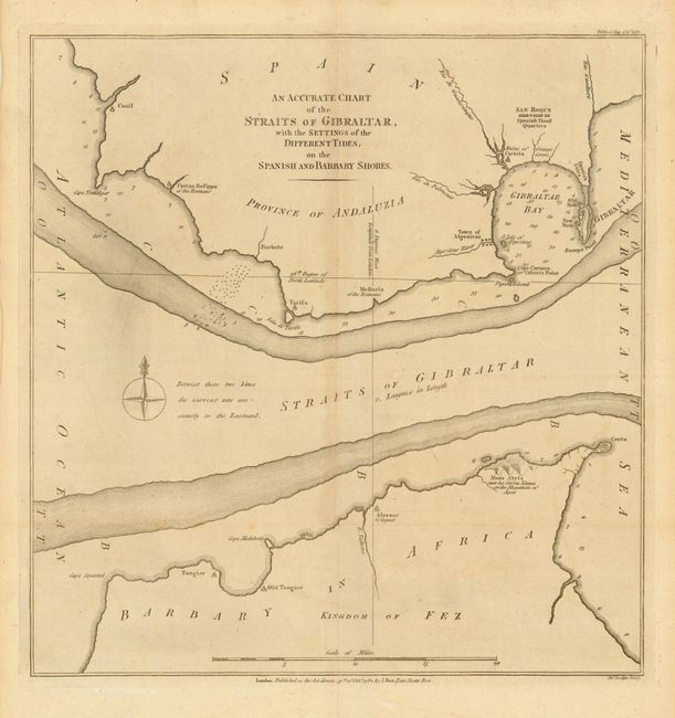
Subject: Gibraltar
Period: 1782 (dated)
Publication: Political Magazine
Color: Black & White
Size:
14.2 x 15 inches
36.1 x 38.1 cm
Download High Resolution Image
(or just click on image to launch the Zoom viewer)
(or just click on image to launch the Zoom viewer)