Catalog Archive
Auction 108, Lot 432
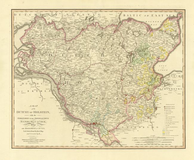
"A Map of the Duchy of Holstein, with the Territories of the Imperial Towns Hamburg & Lubeck also the Bishoprick of Eutin, Laid down from Fischer's Map and Corrected…", Faden, William
Subject: Germany
Period: 1804 (dated)
Publication: The Genreal Atlas of the Four Grand Quarters of the World
Color: Hand Color
Size:
23 x 18.5 inches
58.4 x 47 cm
Download High Resolution Image
(or just click on image to launch the Zoom viewer)
(or just click on image to launch the Zoom viewer)