Subject: United States - Western
Period: 1846 (circa)
Publication:
Color: Black & White
Size:
26 x 16 inches
66 x 40.6 cm
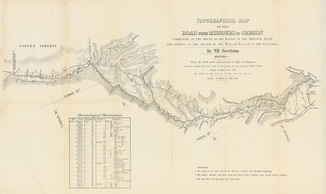
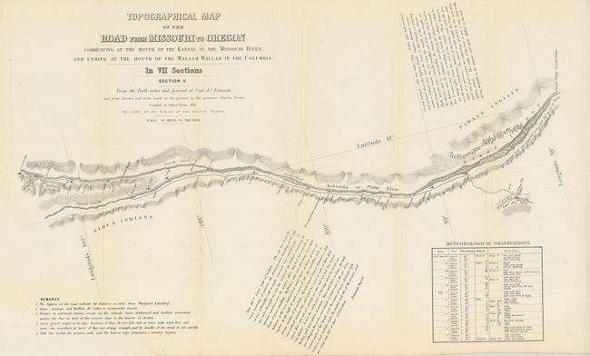
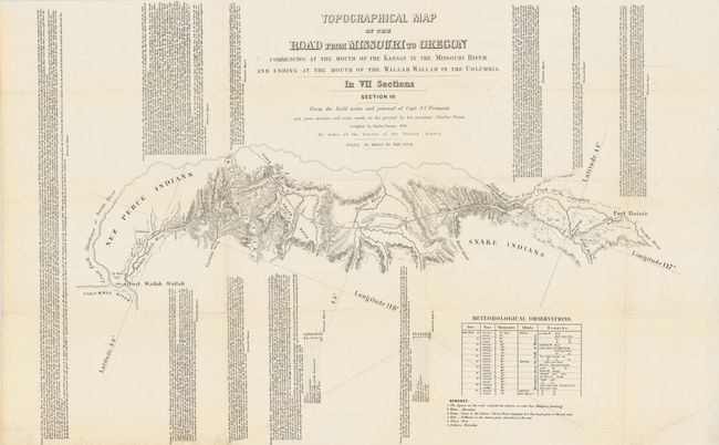
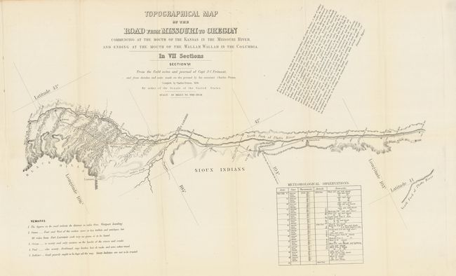
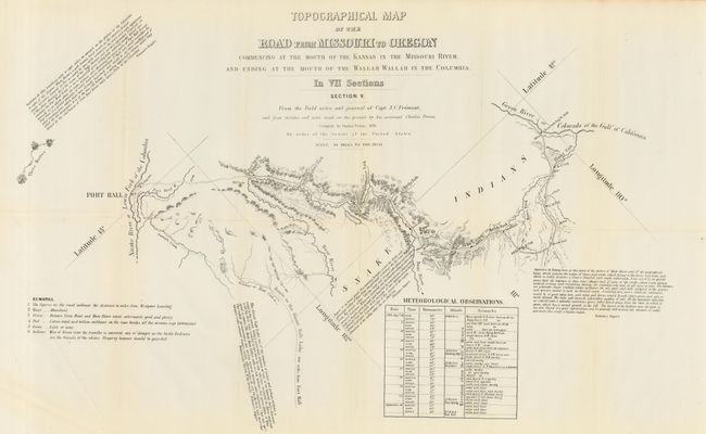
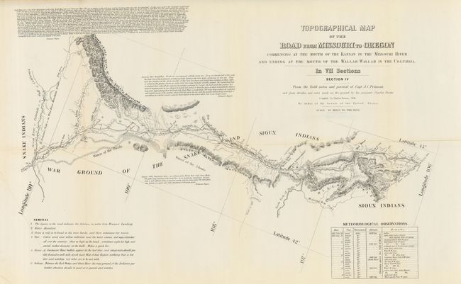
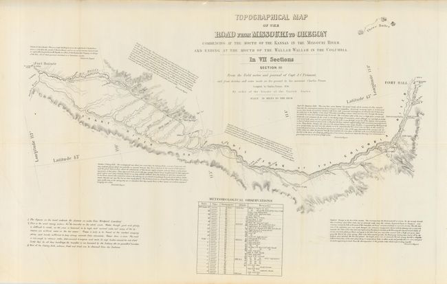
From the field notes and journals of Capt. J.C. Fremont and from sketches and field notes made on the ground by his assistant Charles Preuss. Each is section is approximately the size given above. Together the seven cover the region "commencing at the Mouth of the Kansas in the Missouri River, and Ending at the Mouth of the Wallah Wallah in the Columbia," thus the Oregon Trail Route. Topography is in more detail than in Fremont's parent map. Each sheet is filled with descriptive comments from Fremont's narrative, thus providing a legitimate guide for emigrants at the time. A matching and complete set of seven scarce maps.
References:
Condition: A
A very nice example. All generally clean and bright with occasionally light toning at a few folds.