Catalog Archive
Auction 107, Lot 639

"Atlas Designed to Illustrate the Malte-Brun School Geography", Goodrich, Samuel Griswold
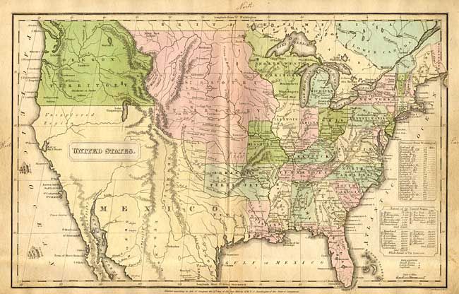
Subject: Geography

Period: 1832 (dated)

Publication:

Color: Hand Color

Size:
9 x 11 inches
22.9 x 27.9 cm
Download High Resolution Image
(or just click on image to launch the Zoom viewer)

Complete with all 16 maps on 13 sheets. Six maps related to the United States with the double-page United States of most interest. It still shows the Lake Timpanoga with its hoped for outlet to the Pacific Ocean. Missouri and Oregon Territories are both oversized and Texas and the Southwest are controlled by Mexico. Light manuscript notations in blank margins noting East, West, North, South on most maps.

References:

Condition: B

Paper covers worn and chipped, maps with some soiling and occasional splits into maps. Maps generally good, a few with splits into map. Covers crudely stitched with thread to book.

Estimate: $200 - $250

Sold for: $160

Closed on 6/9/2004

Archived