Catalog Archive
Auction 107, Lot 392
"[Lot of 2] Partie Meridionale du Cercle de la Haute Saxe [and] Partie Septentrionale du Cercle de la Haute Saxe", Bonne, Rigobert
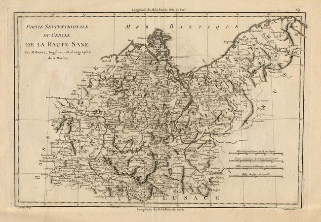
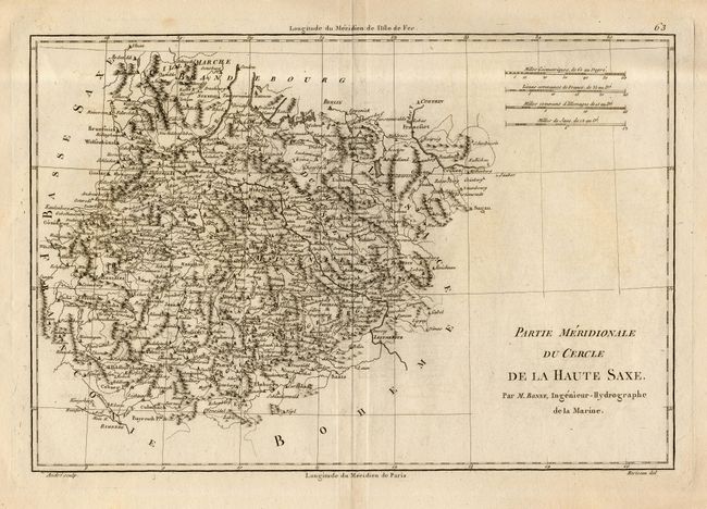
Subject: Germany
Period: 1787 (circa)
Publication:
Color: Black & White
Size:
13.2 x 9.2 inches
33.5 x 23.4 cm
Download High Resolution Image
(or just click on image to launch the Zoom viewer)
(or just click on image to launch the Zoom viewer)