Catalog Archive
Auction 107, Lot 30

"La Seconde Table Generale Selon Ptol.", Munster, Sebastian

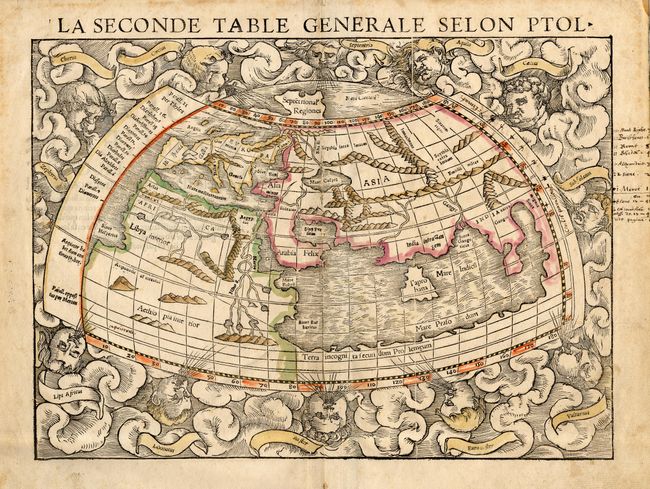
Subject: Ancient World

Period: 1550 (circa)

Publication: Cosmographiae Universalis

Color: Hand Color

Size:
13.5 x 10 inches
34.3 x 25.4 cm
Download High Resolution Image
(or just click on image to launch the Zoom viewer)

Woodblock map of the classical Ptolemaic world, set within a cloud surround and twelve wind heads. The map displays the prevailing conception of world geography prior to the discovery of the New World with an enclosed Indian Ocean, large Taprobana (Ceylon), and multiple lake sources for the Nile. This is a later edition with the fine vertical crack line across the right side of the map.

References: Shirley #76.

Condition: A

Old outline color, slightly faded. Few old brown ink manuscript notations in right margin and two within map. Minor spots in margins.

Estimate: $1,200 - $1,400

Sold for: $900

Closed on 6/9/2004

Archived