Subject: United States - Central
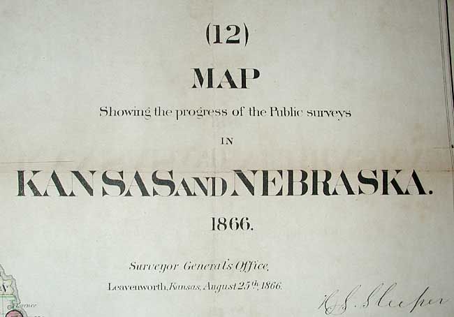
Period: 1866 (dated)
Publication:
Color: Hand Color
Size:
33 x 23.4 inches
83.8 x 59.4 cm
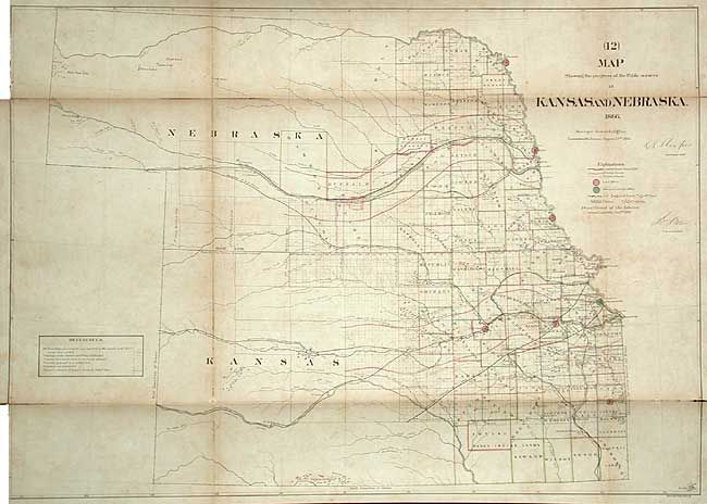
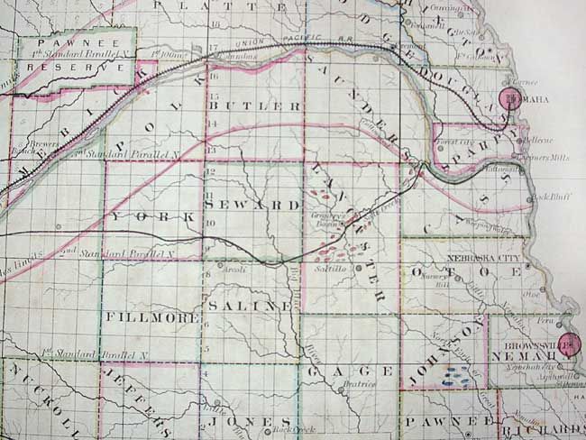
Great early survey map that shows the whole of Kansas and Nebraska with counties delineated and railroad land grants shown. Lincoln and Dawson are the furthest west counties in Nebraska. The railroad information is the map's most interesting feature with Butterfield's Overland Despatch Route shown west from Fort Ellsworth. Locates numerous towns, trust lands, reserves, and military lands. Whitehairs Village, delineated with numerous tipis, is the most prominent Native American village. There are fewer tribal lands than on the 1863 issue. Mineral types are detailed with different colors and include Coal, Lead, Platina and Marble.
References: Wheat (TMW) #1151.
Condition: B
Toned along folds and some scattered foxing. Backed with linen, as issued, with some splits along folds that are closed on verso with archival tape. Binding trim into neatline at one corner.