Subject: Reference Books
Period:
Publication:
Color:
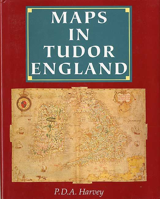
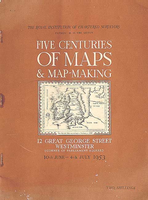
First is by P.D.A. Harvey, jointly published by the Public Record Office and British Library, 1993. Hardback in red, gilt to spine with printed endpapers, in pictorial jacket (9 x 11"). 120 pp. illustrated throughout, including color. An interesting treatise on the impact of maps on the political and social life of England. Second is by The Royal Institution of Chartered Surveyors, 1953. An annotated catalog of an exhibition of British maps and surveying instruments. 118 pp. containing 999 items (7.2 x 9.5"). An interesting read. Illustrated paper covers.
References:
Condition: A
First fine. Second with worn covers and rusted staples.