Catalog Archive
Auction 106, Lot 552

"Carte de la Nouvelle Caledonie (New Caledonia)…", Beautemps-Beaupre, Charles Francois

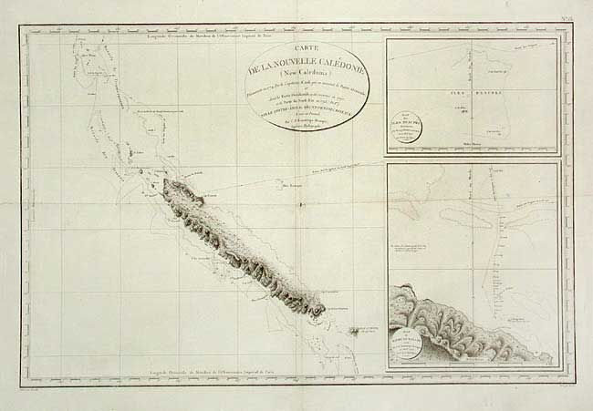
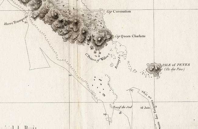
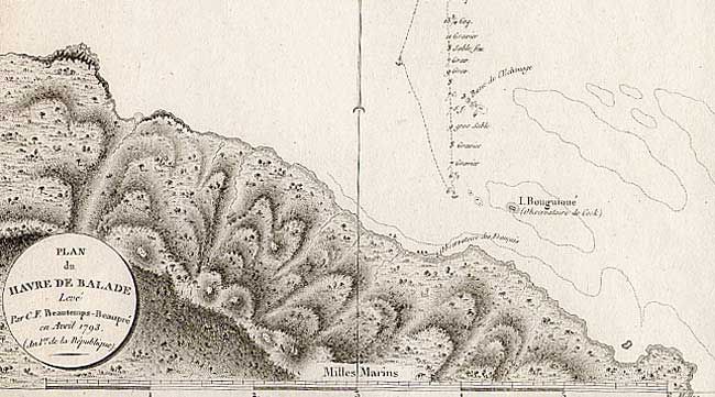
Subject: New Caledonia

Period: 1804 (published)

Publication:

Color: Black & White

Size:
29.6 x 19.4 inches
75.2 x 49.3 cm
Download High Resolution Image
(or just click on image to launch the Zoom viewer)

Rarely seen map that shows, in great detail, the island and the tracts of Admiral Bruny-Dentrescasteaux's ships. The expedition searched for the lost expedition of La Perouse in 1792-93, at the height of the French Revolution. It ended in the East Indies amid open clashes between the Royalists and the Republicans in the crew. With two large equally detailed inset charts: Plan des Iles Beaupre Decouvertes and Plan du Havre de Balade Leve.

References:

Condition: B

Nice clean copy with good impression on thick paper. One small loss in blank area at fold intersection, else very good.

Estimate: $140 - $180

Sold for: $130

Closed on 3/3/2004

Archived