Subject: Pacific Ocean
Period: 1899 (dated)
Publication:
Color: Black & White
Size:
49 x 40 inches
124.5 x 101.6 cm
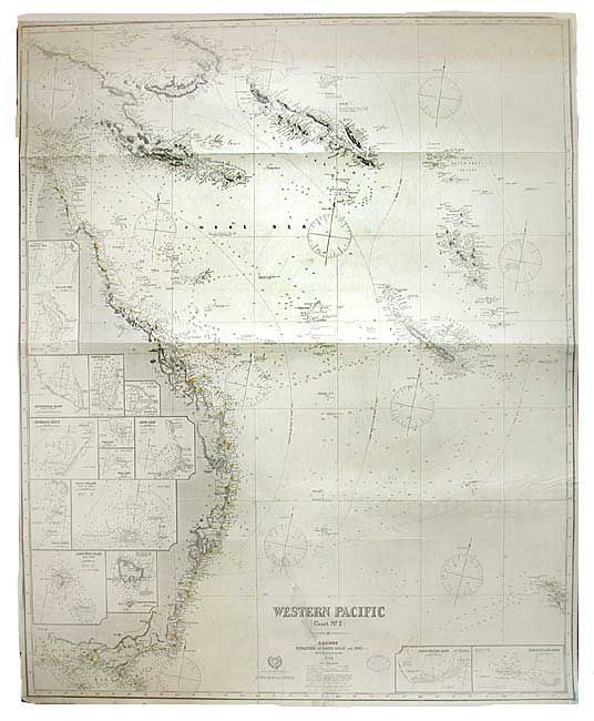
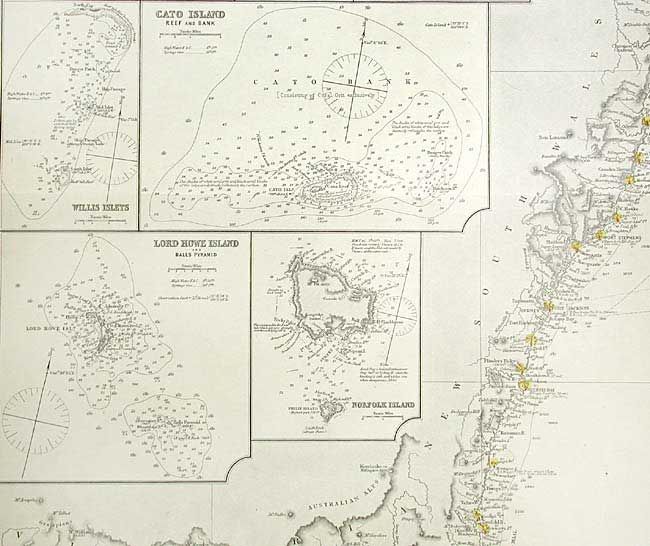
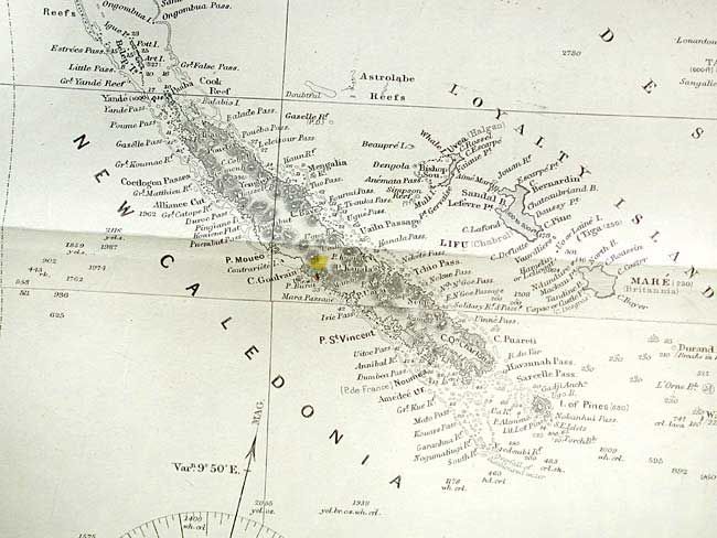
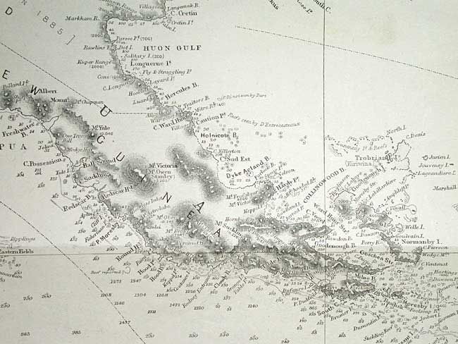
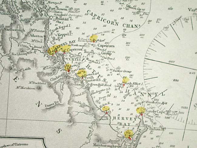
Large and well-engraved map that shows the entire Australian coastline from Cape York down through Queensland, New South Wales and Victoria to Cape Nelson. Numerous inset charts of various portions of the Great Barrier Reef. The map also includes Solomon, New Caledonia, and New Hebrides Islands, the Bismarck Archipelago and a portion of New Zealand's north island. A remarkable chart with an enormous amount of information. This is a working chart backed with blue paper as issued.
References:
Condition: B
Map is clean with very little damage to margins. One long, clean tear and a small clean puncture, both closed on verso. Owner's stamp below title.