Catalog Archive
Auction 106, Lot 475
"Palestine & Adjacent Countries", Thomas, Cowperthwait & Co.
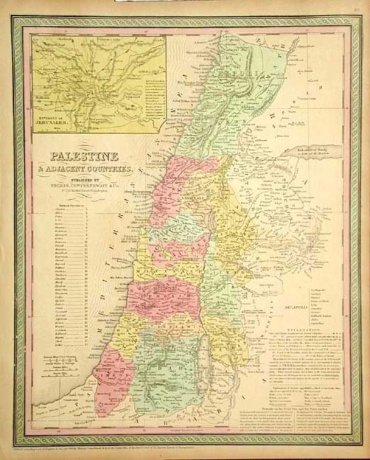
Subject: Holy Land
Period: 1853 (published)
Publication: Mitchell's New Universal Atlas
Color: Hand Color
Size:
12.8 x 15.6 inches
32.5 x 39.6 cm
Download High Resolution Image
(or just click on image to launch the Zoom viewer)
(or just click on image to launch the Zoom viewer)