Catalog Archive
Auction 106, Lot 408
"Territoire d' Ulm"
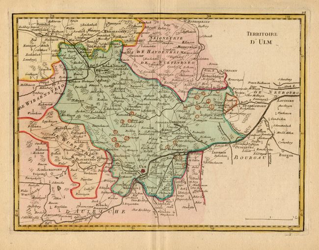
Subject: Germany
Period: 1759 (published)
Publication: Atlas Portatif…
Color: Hand Color
Size:
10.9 x 8.2 inches
27.7 x 20.8 cm
Download High Resolution Image
(or just click on image to launch the Zoom viewer)
(or just click on image to launch the Zoom viewer)