Catalog Archive
Auction 106, Lot 188

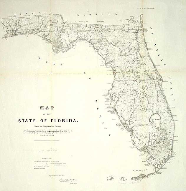
"Map of the State of Florida Showing the Progress of the Surveys…", U.S. State Surveys

Subject: Florida

Period: 1856 (dated)

Publication:

Color: Black & White

Size:
24 x 24.5 inches
61 x 62.2 cm
Download High Resolution Image
(or just click on image to launch the Zoom viewer)

An early state survey map on a scale of 12 miles to the inch showing the topography, vegetation, town, cities, forts and roads. Very detailed and filled with place names, rivers, lakes, swamps and many early trails and roads.

References:

Condition: A

Professionally conserved, cleaned and tissue backed. Trace of toning along folds, with some loss at fold intersection in blank ocean. Still a very good example.

Estimate: $200 - $240

Sold for: $325

Closed on 3/3/2004

Archived