Subject: United States - Western
Period: 1915-16 (dated)
Publication:
Color: Printed Color
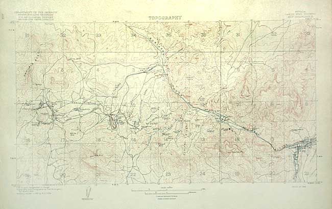
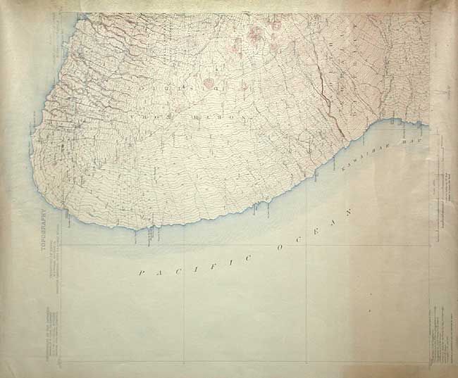
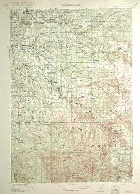
Lot of historical USGS Topographic quadrangle maps: 1) Hawaii (Island and County of Hawaii) - Kohala Quadrangle (16.5 x 20.2") 2) Oregon - Estacada Quadrangle (12.5 x 17.5") 3) Oregon - Albany Quadrangle (12.5 x 17.5") 4) Montana - Wolf Point Quadrangle (12.5 x 17.5") 5) Idaho - Wyoming - Freedom Quadrangle (12.5 x 17.5") 6) Texas (Hidalgo County) - Mission Quadrangle (15.7 x 11.6") 7) Arizona (Cochise County) - Pearce Quadrangle (15 x 17.5") 8) Nevada (White Pine County) - Ely Quadrangle (18 x 9.7") 9) New Mexico (Luna County) - Deming Quadrangle (15 x 17.5") 10) Wyoming - Blue Mesa Quadrangle (12.7 x 17.5").
References:
Condition: A
All very good to fine condition except for Hawaii sheet, which has some toning and a rough corner, away from image.