Subject: United States - Western
Period: 1854-7 (dated)
Publication: U.S. Pacific Railroad Surveys
Color: Black & White
Size:
46 x 42.4 inches
116.8 x 107.7 cm
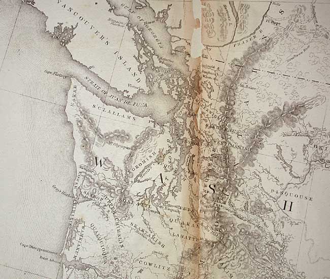
During the 1850s, the U.S. government sponsored an extensive series of expeditions designed to gather information on the vast new territories that had been acquired in western North America. The discovery of gold in California further stimulated westward traffic and heightened the need for a faster and more convenient way to bring the far-flung parts of the country together. In 1853 Congress commissioned the Army's Topographic Bureau to conduct a series of surveys to find a suitable route for a transcontinental railroad. There were six major expeditions; five of them covered the area between the Great Plains and west coast, and the sixth explored the coastal states of California and Oregon. All of these expeditions were accompanied by naturalists and artists to document the landscape, flora and fauna along the route.
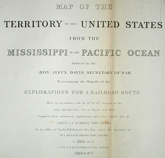
The reports, maps and lithographs were published in the 13 volume report "Explorations and Surveys to ascertain the most practicable and economical route for a Railroad from the Mississippi river to the Pacific Ocean."
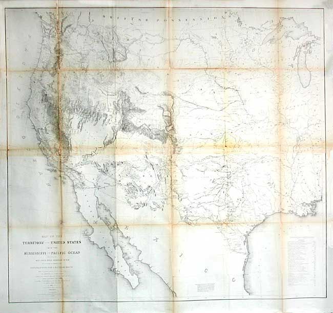
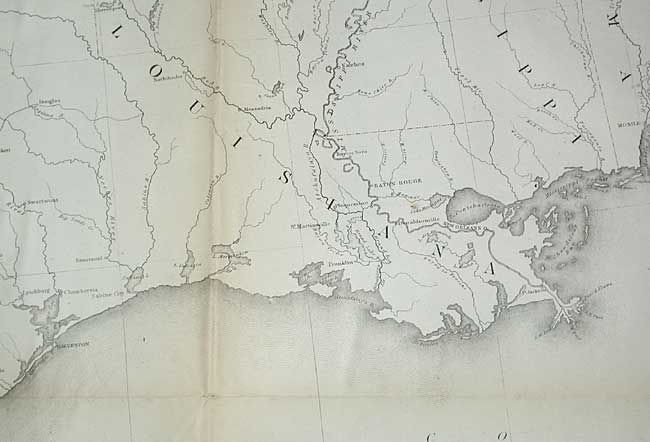
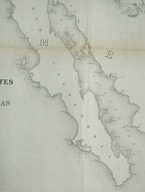
Known as "Warren's General Map", this is a monumentally important and rarely offered map that is considered to be the first accurate overall picture of the region. Wheat considers it so important that he dedicated eight pages to its description and calls it the most important map produced by the Topographical Engineers. Drawn on the polyconic projection, the map culminated a half-century of government explorations beginning with Lewis & Clark. Only 24 years old when assigned the task, Warren used information from the U.S. Land Office, the Coast Survey, Topographical Engineers, the Adjutant General, the Quartermaster General, the Indian Bureau, and Smithsonian Institution to obtain the latest information in developing this map. The majority of the map was completed by 1854, but it was not fully complete when the first railroad survey report was published in 1855. A remarkable and scarce map that represents the best geological knowledge of the day.
References: Wheat (TMW) #936.
Condition: B
Issued folding, now backed with archival tissue. A few small areas of loss at fold intersections and one other area of loss in a blank area. Still much better condition than this large, separately issued map is normally found.