Catalog Archive
Auction 106, Lot 140

"A New Map of Part of the United States, exhibiting the North West, Michigan, Indiana, and Illinois Territory, the States of Kentucky, Ohio, Virginia, Maryland and Pennsylvania", Cary, John

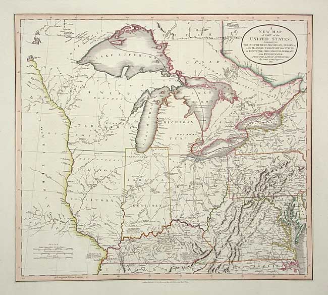
Subject: United States - Midwest and Mid Atlantic

Period: 1821 (dated)

Publication: New Universal Atlas

Color: Hand Color

Size:
20 x 18 inches
50.8 x 45.7 cm
Download High Resolution Image
(or just click on image to launch the Zoom viewer)

Great map of the early mid-western territories showing roads, portages, forts, Indian villages, settlements and topography. It includes numerous interesting notations, particularly relating to navigation in the Great Lakes and portages throughout the region. The western boundary of the Six Indian Nations is shown to be a creek in western New York. In Kentucky is a note, "this Colony was first discovered by Js. Macbride & others in the Year 1754. Col. D. Boon explored it in 1769 & with his family & five others began the first settlement in it in 1773."

References:

Condition: A+

Tiny fold separation at top repaired with archival tape.

Estimate: $800 - $900

Sold for: $1,500

Closed on 3/3/2004

Archived