Catalog Archive
Auction 105, Lot 648

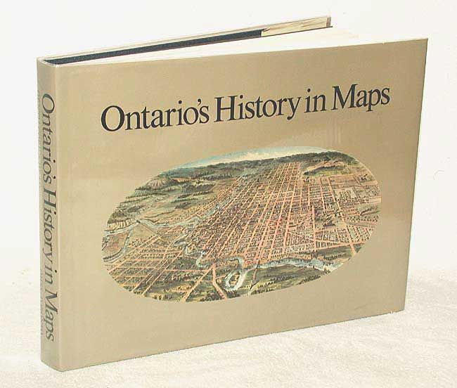
"Ontario's History in Maps", Various

Subject: Reference Books

Period: 1984 (published)

Publication:

Color:

Size:
16.5 x 12.5 inches
41.9 x 31.8 cm
Download High Resolution Image
(or just click on image to launch the Zoom viewer)

Compiled by R. Louis Gentilcore and C. Grant Head. This is a major reference for the historical cartography and geography of this region. Illustrated with nearly 300 maps, half in full color, and a cartobibliographical essay by Joan Winearls. The text and maps trace the development of the province from early European manuscripts through the 20th century highway and forest maps. The Ontario Historical Studies Series, University of Toronto Press. 284 pp. Hardbound in blue cloth with illustrated dust jacket.

References:

Condition: A+

Estimate: $120 - $180

Sold for: $130

Closed on 12/3/2003

Archived