Catalog Archive
Auction 105, Lot 54

"[Pair] Polar-Karte [together with] Sud-Polar-Karte", Perthes, Justus
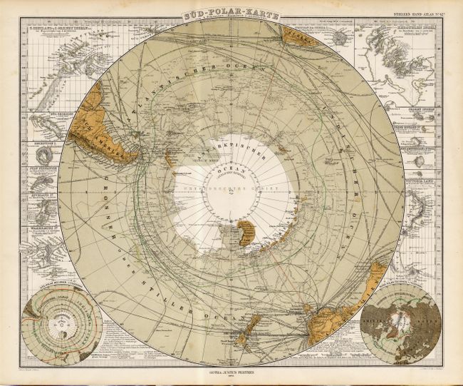
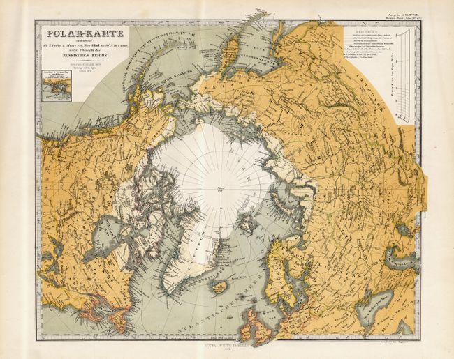
Subject: Polar

Period: 1872 (dated)

Publication:

Color:

Size:
16 x 13 inches
40.6 x 33 cm
Download High Resolution Image
(or just click on image to launch the Zoom viewer)

Pair of very graphic charts of the poles with information on the recent explorations and discoveries, particularly in the Antarctic sheet, which is absolutely filled with details. The map of the South Pole is surrounded by numerous insets of islands in the region. Each in a combination of printed and hand color. Size varies slightly.

References:

Condition: A

Couple of faint insignificant spots, overall very good.

Estimate: $200 - $240

Unsold

Closed on 12/3/2003

Archived