Catalog Archive
Auction 105, Lot 536

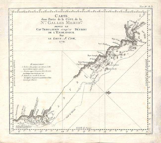
"Carte d'une Partie de la Cote de la Nle. Galles Meridle. Depuis le Cap Tribulation Jusqu' au Detroit de l Endeavour", Cook, James (Capt.)

Subject: Australia

Period: 1770 (dated)

Publication:

Color: Black & White

Size:
13.2 x 11.5 inches
33.5 x 29.2 cm
Download High Resolution Image
(or just click on image to launch the Zoom viewer)

A finely engraved chart that features Cook's passage through the Great Barrier Reef. Extends from the northern extremity of Cape York peninsula and Endeavour Strait south to the Endeavour River and Cape Tribulation south of present day Cooktown.

References: Tooley (Aust) 344.

Condition: B

Good impression on thick paper with watermark. A few foxing spots, short remargining along left blank margin.

Estimate: $400 - $500

Sold for: $275

Closed on 12/3/2003

Archived