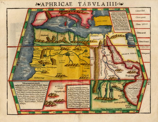
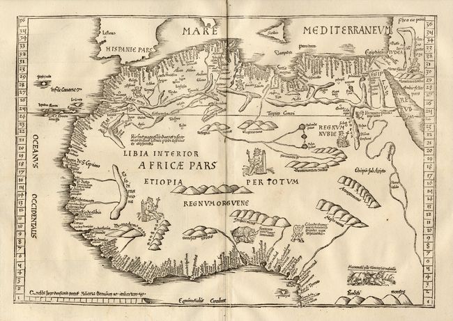
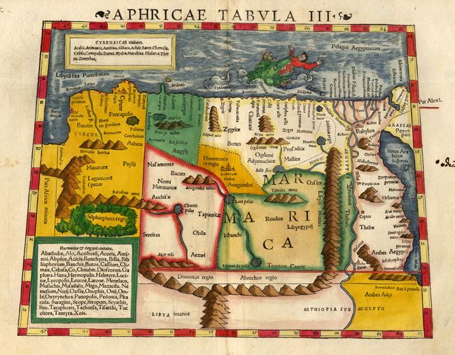
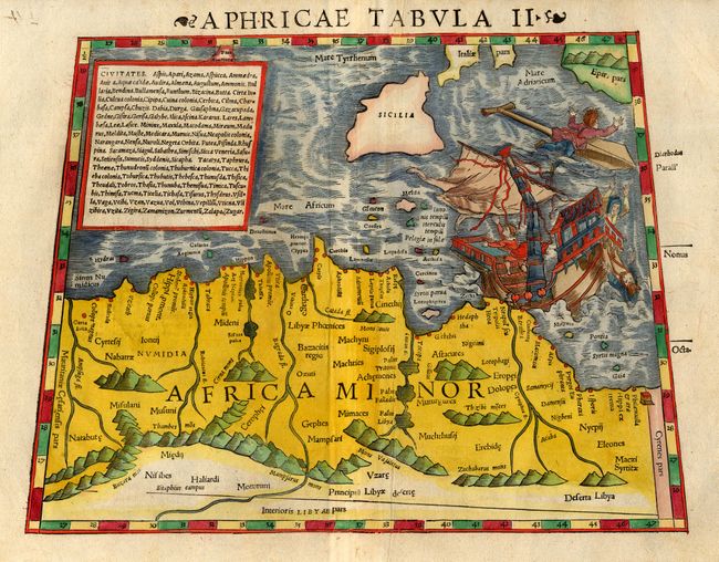
Subject: Northern Africa
Period: 1540-45 (circa)
Publication: Geographia Universalis
Color: Hand Color
Size:
13 x 10 inches
33 x 25.4 cm
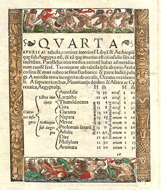
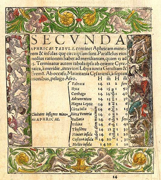
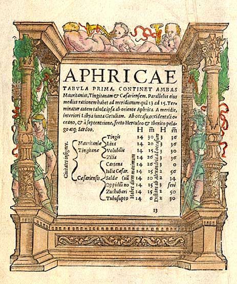
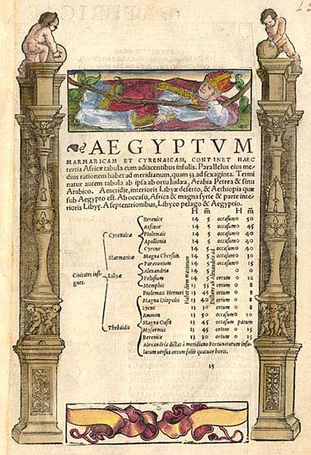
Great matched set of Ptolemaic maps depicting the northern part of Africa with large rivers, convoluted mountain ranges and large castles locating ancient cities. The first covers Mauritania - present-day Morocco, Algeria, and Tunisia; second focuses on the ancient region of Carthage (Libya); third covers Egypt and Alexandria; and IIII is a general map of the whole region known to Ptolemy with the source of the Nile shown in an the Montes Lunae and the region below that marked Terra Ptolemeo incognita. These maps are boldly decorated with galleons, a fantastic shipwreck and a hapless sailor being devoured by a sea monster graphically illustrating the hazardous conditions endured by early explorers. Each map has Latin text on one side of verso with charming woodblock illustrations (fully colored) surrounding the text.
References: Norwich #289 & 291.
Condition: A
Fine matched set in later color in the bold period style. All with some minor creases and a couple of professional minor repairs.