Catalog Archive
Auction 105, Lot 509

"Africa Drawn from the best Maps", Jefferys, Thomas
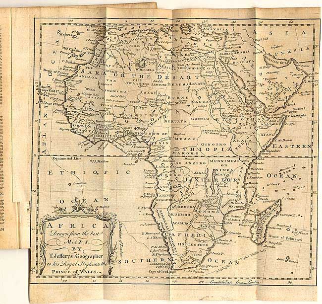
Subject: Africa

Period: 1748 (published)

Publication: Gentleman's Magazine

Color: Black & White

Size:
10 x 9.3 inches
25.4 x 23.6 cm
Download High Resolution Image
(or just click on image to launch the Zoom viewer)

Remarkably detailed map of the continent still bound in the original February 1748 issue (46 pp.). Correctly shows the source of the Nile. Names scores of regions including the Slave Coast, Cafreria, Hottentots, Mujac, etc. Labels the Sahara Desert (Sara or the Desart). Monomotapa shown in the southeast opposite of Madagascar. Very decorative cartouche. Similar to Bowen's "A New and Correct Map of Africa" of the same year.

References: Jolly GENT-54.

Condition: B

Light scattered toning, else very good.

Estimate: $150 - $200

Sold for: $75

Closed on 12/3/2003

Archived