Catalog Archive
Auction 105, Lot 41

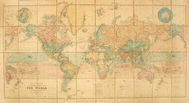
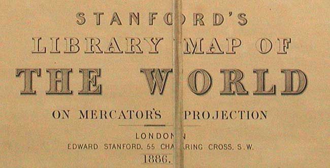
"Stanford's Library map of the World on Mercator's Projection", Stanford, Edward

Subject: World

Period: 1886 (dated)

Publication:

Color: Hand Color

Size:
67 x 34 inches
170.2 x 86.4 cm
Download High Resolution Image
(or just click on image to launch the Zoom viewer)

Great large-scale map of the world with superb detail particularly in the oceans. Currents are depicted according to their strength, trade winds and monsoons are shown, ocean mail routes and the submarine telegraph cables are located. Spherical insets of the North and South Pole. Dissected and linen backed, folding with marbled-paper backs. Lacking slipcase. The shipping route from Yokohama to Vancouver is noted in manuscript red ink.

References:

Condition: A

Overall clean and bright. Some fold intersections with minor separations in linen, still very good. Manuscript ink name of the previous owner with the date 1890 in top margin.

Estimate: $500 - $700

Sold for: $375

Closed on 12/3/2003

Archived