Catalog Archive
Auction 105, Lot 382

"Carte Topographique du Diocese de Senlis…", Delisle/Covens & Mortier
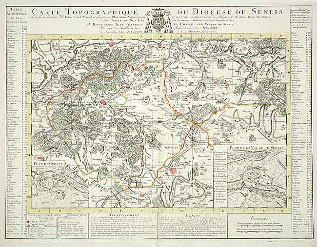
Subject: France

Period: 1739 (circa)

Publication:

Color: Hand Color

Size:
20.7 x 14.2 inches
52.6 x 36.1 cm
Download High Resolution Image
(or just click on image to launch the Zoom viewer)

Beautifully engraved map of the region just north of Paris includes le Plessis Belleville, Dammartin, Lusarche, Creil, and Crespy en Valois. Detailed to show many villages, towns, roads and even individual trees to indicate forests. With two insets: "Plan de Crespy" and "Plan de la Ville de Senlis". Surrounded by extensive tables keyed to map.

References:

Condition: A+

Dark, early impression and fine coloring. Full margins.

Estimate: $200 - $250

Sold for: $150

Closed on 12/3/2003

Archived