Catalog Archive
Auction 105, Lot 330
"La Pologne Dressee sur ce qu'en ont donne Starovolsk, Beauplan, Hartnoch, et autres Auteurs…", Delisle/Covens & Mortier
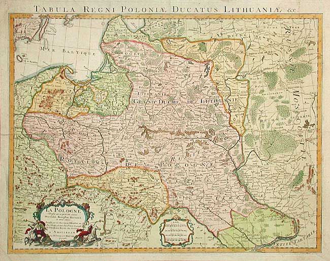
Subject: Eastern Europe
Period: 1730 (circa)
Publication:
Color: Hand Color
Size:
24.4 x 18.5 inches
62 x 47 cm
Download High Resolution Image
(or just click on image to launch the Zoom viewer)
(or just click on image to launch the Zoom viewer)