Catalog Archive
Auction 105, Lot 322

"Nueste allgemeine Postkarte durch alle Europaeische Staaten…", Pongratz, Lieut. Johann

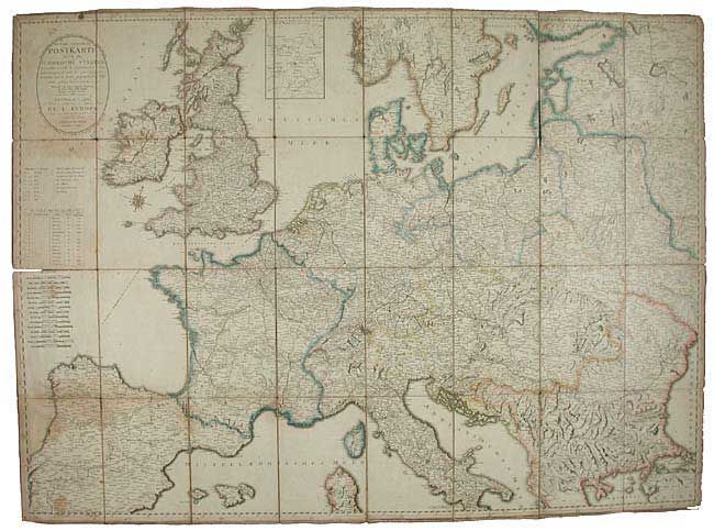
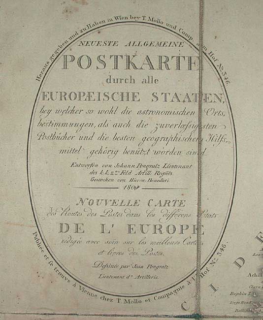
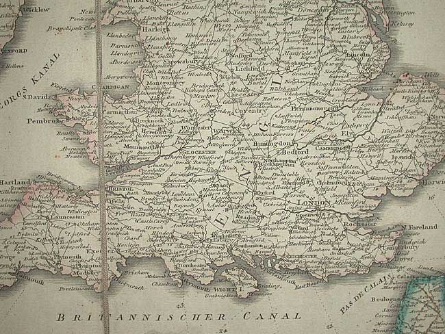
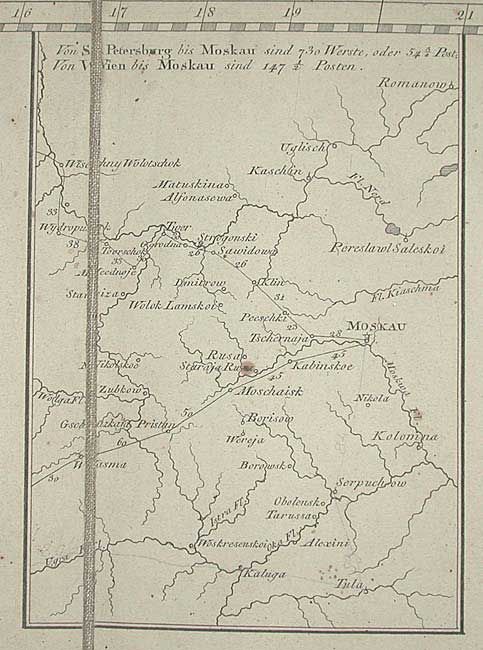
Subject: Europe - Postal Routes

Period: 1800 (dated)

Publication:

Color: Hand Color

Size:
63 x 43 inches
160 x 109.2 cm
Download High Resolution Image
(or just click on image to launch the Zoom viewer)

Finely detailed map showing the postal routes throughout Europe. A fine Napoleonic Era map that includes Britain and extends to Russia and St. Petersburg, and south to include Italy well south of Naples. The postal routes between St. Petersburg and Moscow are shown in an inset. The various postal routes are keyed to a legend. Fifteen mileage scales and a handsome compass rose. Dissected and laid in 32 sections on linen. Second title in French.

References:

Condition: B

Good impression and original coloring. Some folds are split in linen. A few areas of staining and scattered foxing, else very good.

Estimate: $500 - $700

Sold for: $375

Closed on 12/3/2003

Archived