Catalog Archive
Auction 105, Lot 275
"[Lot of 2] Carte de la Riviere de la Plata [together with] Carte du Paraguay et des Pays voisins…", Bellin, Jacques Nicolas
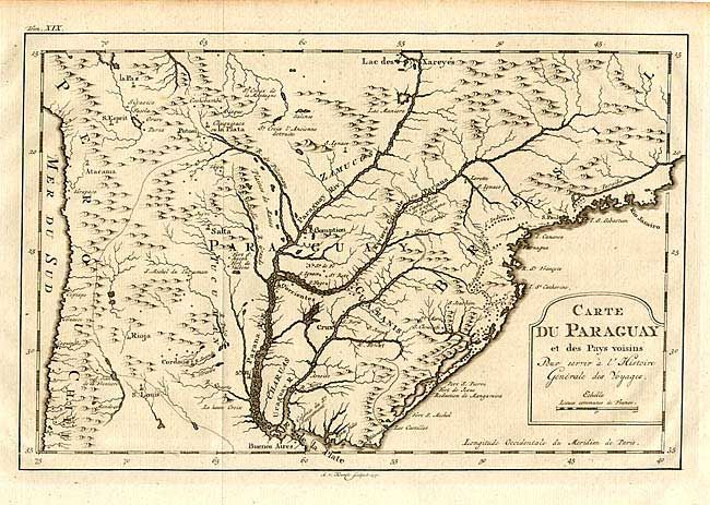
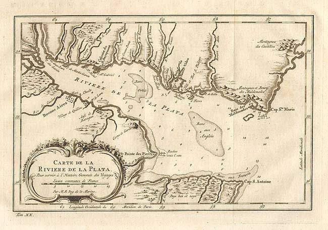
Subject: South America - Central
Period: 1775 (circa)
Publication: Prevost's Histoire Generale des Voyages
Color: Black & White
Size:
See Description
Download High Resolution Image
(or just click on image to launch the Zoom viewer)
(or just click on image to launch the Zoom viewer)