Catalog Archive
Auction 105, Lot 223

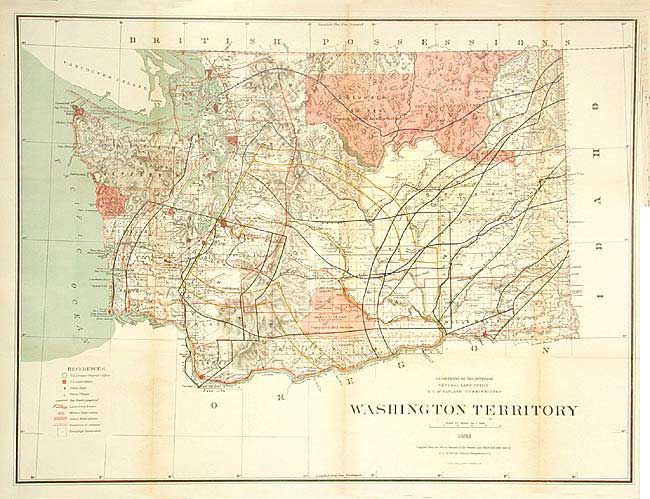
"Washington Territory", General Land Office

Subject: Washington

Period: 1883 (dated)

Publication:

Color: Hand Color

Size:
29 x 22 inches
73.7 x 55.9 cm
Download High Resolution Image
(or just click on image to launch the Zoom viewer)

A colorful and graphic county map of the Territory with great detail. It depicts the land surveys, Indian Reservations, military reservations, county boundaries, land grants and numerous railroad lines. Topography is nicely developed and railroad land grants are well defined. The Indian Reservations are indicated by red hachuring and show their Treaty References. Several areas remain to be surveyed.

References:

Condition: B

Issued folding, now backed with archival tissue. Some toning along folds, else very good.

Estimate: $150 - $200

Sold for: $100

Closed on 12/3/2003

Archived