Subject: Texas
Period: 1838 (circa)
Publication: Senate Doc. 119, 27th Cong. 2nd Sess.
Color: Black & White
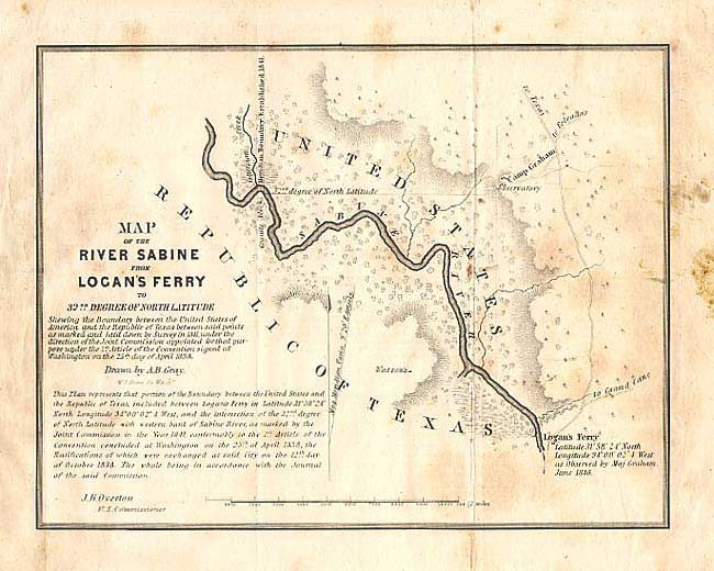
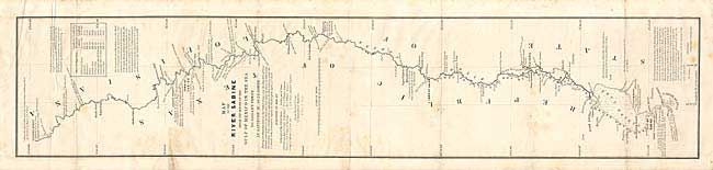
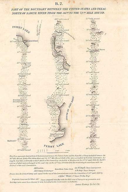
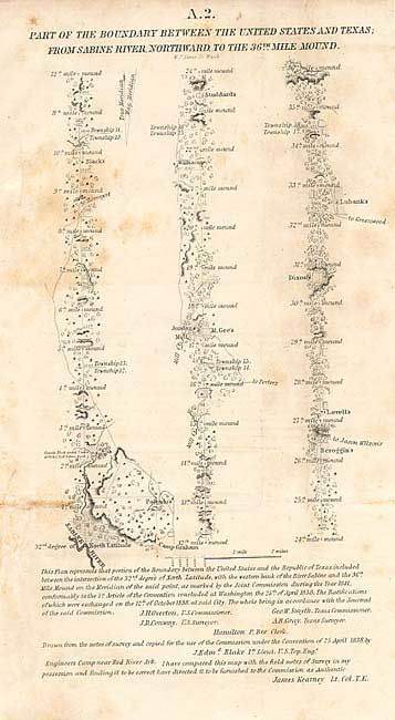
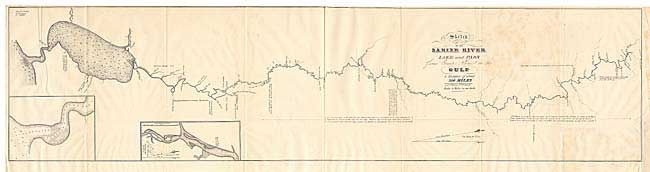
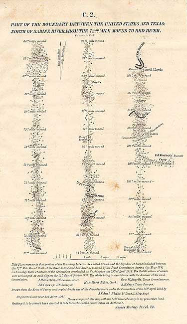
The act admitting Louisiana to statehood in 1812 contained a clause defining its original boundaries. When Texas declared its Independence in 1835 these borders came into question. This survey was made shortly thereafter and appears to have been the basis for a more detailed survey in 1840 to determine the eastern boundary of Texas. A most desirable and rarely seen set of maps. 1) "Map of the River Sabine from its Mouth on the Gulf of Mexico in the Sea to Logan's Ferry" (7 x 34.4"); 2) "Sketch of the Sabine River Lake and Pass from Camp Sabine to the Gulf a Distance of about 300 miles" (8.4 x 34.5"); 3) "Map of the River Sabine from Logan's Ferry to 32nd Degree of North Latitude" (8.5 x 6.5"); 4, 5, & 6) "A-2. Part of the Boundary between the United States and Texas from Sabine River, Northward to the 36th Mile Mound", "B-2. "to the 72nd Mile Mound" and "C-2. "from the 72nd Mile mound to Red River." These last three each measure 7" x 12.2". A remarkable group of six maps that are rarely offered together.
References: Clausen & Friis #243; Koepp #I-34-1-4.
Condition: B
All in good condition on sound paper. With occasional scattered foxing. Larger stain in margin of #3. All folding, as issued.