Catalog Archive
Auction 105, Lot 206
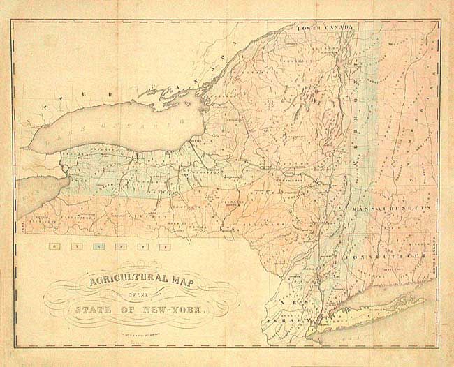
"Agricultural Map of the State of New-York", Endicott & Company
Subject: New York
Period: 1854 (circa)
Publication:
Color: Hand Color
Size:
23.5 x 18.2 inches
59.7 x 46.2 cm
Download High Resolution Image
(or just click on image to launch the Zoom viewer)
(or just click on image to launch the Zoom viewer)